
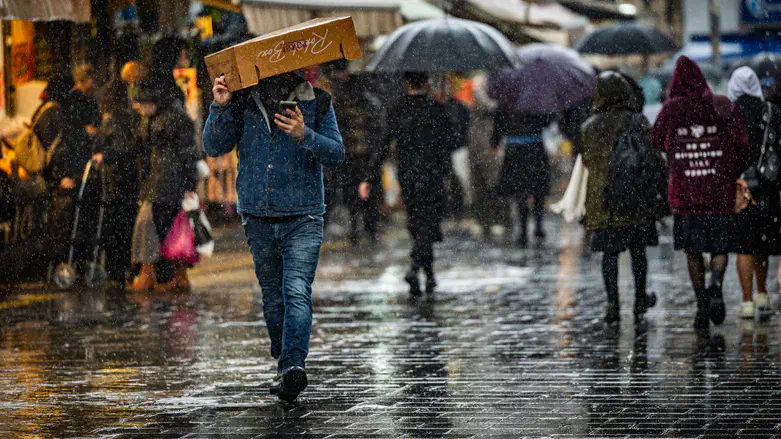
After forecasts of unusually heavy rainfall over the past few days failed to materialize as expected in central Israel, Nachum Malek, chief forecaster at Meteo-Tech, explained to Arutz Sheva - Israel National News what caused the discrepancy between the forecasts and the weather that ultimately arrived. According to Malek, the weather system shifted farther north than initially expected, meaning its main effects were felt outside Israel and in the northern part of the country.
“We thought last week that the system would be closer," Malek said. “We thought the autumnal focus of the system would pass nearer to the country, but in the end the system was farther north and crossed into Lebanon. Since we are still not in the rainy season, the effect of the system was more concentrated in places closer to it."
“At first, it was forecast that the track would be more southern for the low-pressure system that caused the stormy weather, and indeed we saw images from Lebanon and Cyprus of heavy rain and strong winds," he added.
As a result, Israel experienced only the fringes of the system. Heavy rain fell in the north, but the rainfall did not extend southward into central Israel. “There are still leftovers with cooler air than we are used to during this period, so tonight and tomorrow morning there is a possibility of drizzle or light rain in the north or center, but nothing significant."
Regarding the widespread warnings that had prepared Israelis for what appeared to be an unusually powerful storm, Malek said that the way forecasts are communicated also played a role. “The terminology used to convey the information is also important. We passed it on in a certain way, and there were elements that conveyed it more publicly, but we also thought there was concern about flooding and heavy rains, and that is how a snowball developed, out of season, and gathered momentum."
“They told the media that there would be unprecedented events compared to this period and large amounts of rainfall, and since we do not experience much rain here, mainly in August, this caused very serious echoes and media coverage. We need to find that balance between alerts and warnings that are important for local authorities and the public, and to do it in a time frame closer to the event," he said. “Find the middle so that the situation is clarified without causing panic."
“Time beat the forecast," Malek said. “We are in August, and the fact is that in Lebanon we saw large amounts of rain that were unprecedented, and it was a hair’s breadth away from the chance that we would see it here as well. We are not prophets. We are forecasters. The word by its name is only a forecast, a prediction."
He explained that forecast accuracy increases as the predicted event draws closer. “As the forecast time approaches, accuracy increases, and the truth is that on Thursday afternoon we saw signs of weakening in the system, which had looked farther north and less severe than it seemed at first. Unfortunately, by the time we could see that, the predicitions had already been publicized."