
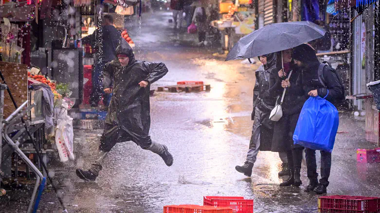
A winter storm is expected to reach Israel tonight (Wednesday), bringing heavy rain, thunderstorms, snow on Mount Hermon, and a risk of flooding and flash floods.
The first rains will begin in the northern part of the country late tonight and spread to the Sharon, Samaria, and central areas by early morning.
On Thursday morning and afternoon, the system will reach its peak with exceptional rain amounts of up to 100mm in Gush Dan, along the coast, and in Samaria.
In the coastal cities, Samaria, and Jerusalem, there is a serious risk of flooding on roads, neighborhoods, and drainage points. The meteorological service is urging people to avoid unnecessary travel and keep vehicles away from high-risk areas.
At the same time, there is a risk of flash floods in the streams of the Judean Desert, the Dead Sea, and the northern Negev. The public is asked not to approach the streams and flow channels, especially from Thursday afternoon until Friday morning.
On the night between Thursday and Friday, the rains will weaken in the north, but continue in the center and south. Full relief is expected only by Friday afternoon, and Saturday will bring slight warming.
According to the data, most areas of the country have seen above the seasonal average for rainfall, especially in the southern Negev and the southern coast. A significant rain deficit remains in the Upper Galilee and northeastern areas. The approaching system is expected to reduce the gap.