


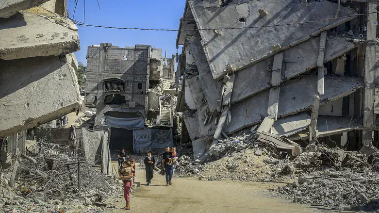
Updated satellite images of the Gaza Strip that appeared on Google Maps have gone viral online over the past day, providing an aerial view of the extensive destruction in Rafah, Khan Yunis, and Gaza City.
The images show areas where entire residential neighborhoods have changed dramatically, with many buildings having disappeared and vast areas of rubble left in their place. The images make it possible to compare how these areas look today with their condition before the war.
A satellite assessment by the United Nations Satellite Centre (UNOSAT) determined that, as of June 16, 2026, approximately 201,290 structures in the Gaza Strip had been damaged, representing about 82% of all structures.
According to the same assessment, 134,422 structures were classified as destroyed, 13,848 as severely damaged, 28,096 as moderately damaged, and 24,924 as possibly damaged. It also stated that approximately 328,627 housing units had been damaged.
The war in the Gaza Strip began following Hamas’ October 7, 2023 attack, when terrorists from the organization invaded Israel, massacred, raped, and kidnapped Israelis. Following the attack, Israel went to war against Hamas in the Gaza Strip.