
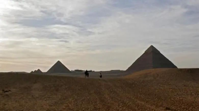
A new satellite survey of Egypt has identified seventeen lost pyramids, the BBC reported on Tuesday.
In addition, more than 1,000 tombs and 3,000 ancient settlements were revealed by looking at infra-red images which show up underground buildings, said the report.
The work has been pioneered at the University of Alabama at Birmingham by American Egyptologist Dr. Sarah Parcak, who told BBC that she was amazed at how much she and her team has found.
“We were very intensely doing this research for over a year,” she said. “I could see the data as it was emerging, but for me the ‘Aha!’ moment was when I could step back and look at everything that we’d found and I couldn’t believe we could locate so many sites all over Egypt. To excavate a pyramid is the dream of every archaeologist.”
The satellites that took the images orbited 700km above the earth and were equipped with cameras so powerful they can pin-point objects less than 1 meter in diameter on the earth’s surface. Infra-red imaging was used to highlight different materials under the surface.
Parcak added that it is her belief that there are more antiquities to be discovered in the region.
“These are just the sites [close to] the surface,” she explained. “There are many thousands of additional sites that the Nile has covered over with silt. This is just the beginning of this kind of work.”
Parcak recently traveled to Egypt to conduct excavations in the areas photographed and hopefully to back up what her technology was able to detect under the surface. According to the report, local authorities were not initially interested in her findings, but when she told them she had seen two potential pyramids, they made test excavations and now believe it is one of the most important archaeological sites in Egypt.
The most exciting moment for Parcak was visiting the excavations at Tanis, a city in the north-eastern Nile delta of Egypt.
“They’d excavated a 3,000-year-old house that the satellite imagery had shown and the outline of the structure matched the satellite imagery almost perfectly,” Parcak told the BBC. “That was real validation of the technology.”
She expressed her hopes that the new technology will help engage young people in science and will help archaeologists around the world.
“It allows us to be more focused and selective in the work we do,” she explained. “Faced with a massive site, you don't know where to start. It’s an important tool to focus where we’re excavating. It gives us a much bigger perspective on archaeological sites. We have to think bigger and that's what the satellites allow us to do.”