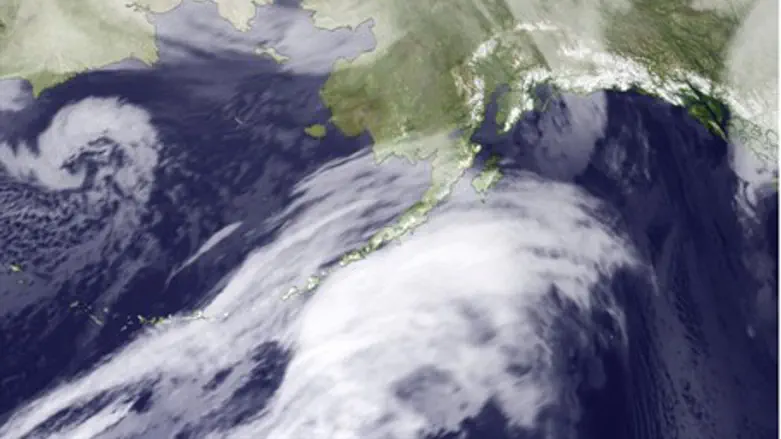
A blizzard of “epic” proportions battered coastal communities in Alaska Wednesday, tearing through the state with gale-force winds of up to 89 miles per hour.
Power was knocked out all along the coast in what meteorologists said was one of the worst blizzards to hit the state in nearly 40 years.
Residents along Alaska's western coast between Norton Sound and Point Hope were placed an alert for a possible surge of sea water that emergency workers feared might follow the storm.
National Weather Service meteorologist Jeff Osiensky compared the blizzard to a Category 3 hurricane and warned in an quick conversation with the Washington Post, “This is a storm of epic proportions. We're not out of the woods with this.”
The reason for the concern has to do with the northern trajectory of the storm, and the lack of sea ice close to shore.
The last storm of this magnitude was in November 1974, officials said, but the surface of the sea at that time was far more frozen. This year, the Arctic sea ice has reached the second-lowest coverage since satellite records began in 1979, according to the National Snow and Ice Data Center in Boulder, Colorado.
Although severe weather has always come through the Bering Sea at this time of year, its potential for destruction has increased dramatically with the loss of sea ice cover, officials explained.