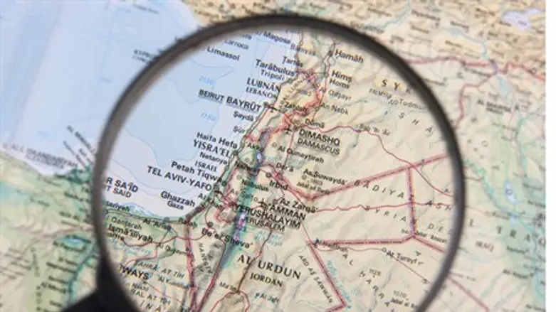
One of the world's largest publishing houses is distributing school Atlases in Middle Eastern countries which totally erase any reference to the State of Israel, it has been revealed.
HarperCollins' subsidiary Collins Bartholomew, which specializes in maps, are selling "Collins Middle East Atlases" to English-speaking schools in the Gulf states which depict Jordan and Syria extending all the way to the Mediterranean Sea.
Collins Bartholomew told The Tablet that the reason they wiped Israel off their maps was that including the Jewish state would be "unacceptable" to their customers in the Gulf states.
They added that the change to remove Israel was meant to incorporate "local preferences" - apparently the local preference that Israel not exist.
The Bishops’ Conference of England and Wales condemned HarperCollins for the move, with Bishop Declan Lang of the Conference's Department of International Affairs telling the paper "the publication of this atlas will confirm Israel’s belief that there exists a hostility towards their country from parts of the Arab world."
"It will not help to build up a spirit of trust leading to peaceful co-existence," added Lang.
Dr. Jane Clements, director of the Council of Christians and Jews, also spoke to The Tablet about the maps, saying they delegitimize Israel for the students who use them.
"Maps can be a very powerful tool in terms of delegitimizing ‘the other’ and can lead to confusion rather than clarity. We would be keen to see relevant bodies ensure that all atlases anywhere reflect the official UN position on nations, boundaries and all political features," said Clements.