Oregon State University has an unusual collection of 100+ year old photographs of Eretz Israel - not necessarily unusual because of the photographs, which are exceptional, but also because of the historic narration provided to most of the pictures.

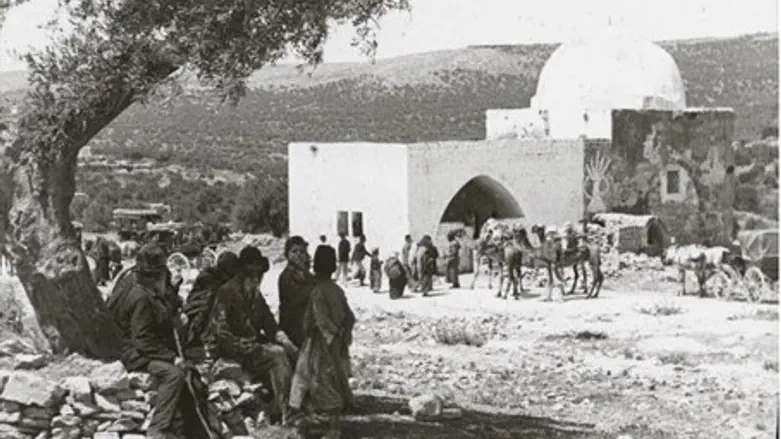
Tiberias (circa 1910, Oregon State University Archives)
The "historic lecture booklet" referenced in many of the captions, explains Trevor Sandgathe, the Public Services Coordinator of OSU's Special Collections & Archives Research Center, "is a 60-page document containing captions for each of the images in this particular set of lantern slides. The booklet was for internal use and therefore unpublished."
We provide here a first set of OSU's pictures and the original captions(in blue).
"Tiberias ... is on the western shore of the lake of Galilee about seven miles from its southern end. The lake lies 627 feet below the level of the Mediterranean; the city is on a plain a few feet above the lake. After the destruction of Jerusalem, Tiberias became the seat of many Jewish schools. Here the Mishna was complied [sic] and published about A.D. 220, and the Palestinian Talmud about 420. Here the vowel points were added to the Hebrew Bible about 600 A.D. Of its present population of 4,000 two-thirds are Jews."
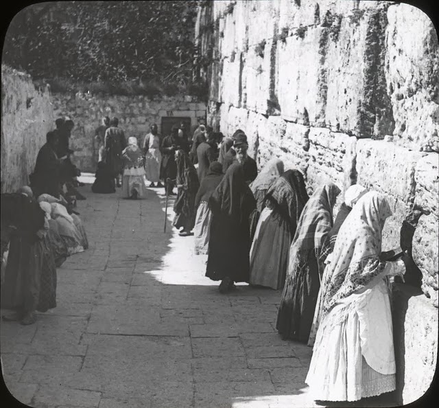
The Jews' Wailing Place- Outer Wall of Temple (circa 1910, Oregon State University Archives)
"Leaving the temple area by the Cotton Gate, a turn to the left will bring one to the wailing place of the Jews which is a portion of the western wall of the temple area.
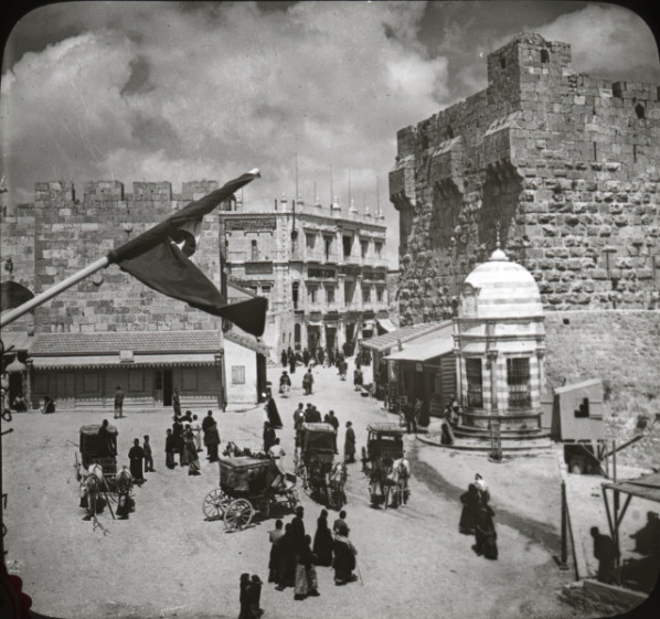
Jaffa Gate (prior to 1908 when a clock tower was built at the gate, post-1898 when the wall was breached to build this road (circa 1910, Oregon State University Archives) More pictures of Jaffa Gate here
"The Jaffa gate is the only gate on the western side of Jerusalem. It is so called because through it passes the road and the traffic to and from Jaffa.
Responsible Archivists Preserve Their Photographic Treasures
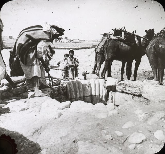
Abraham's Well, Beer Sheba (circa 1910, Oregon State University Archives) The wells of Beer Sheba were a strategic location during the battles of
World War I. Read more here
"Beer-Sheba (the wall [sic] of seven) is the name of one of the oldest towns in Palestine. It is the most southern city of Palestine. Here are found seven wells, two large ones and five smaller ones called Abraham's wells.