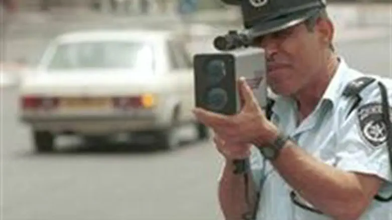
Ben Gurion University researchers have analyzed “Waze “ app data to highlight traffic trouble spots, where police can be deployed more effectively.
Waze is an Israeli GPS navigation application that enables users to upload comments for all to see. Users note such details as police nearby and areas of heavy traffic or accidents, among other things.
Researchers from Telekom Innovation Laboratories and the Department of Information Systems Engineering at Ben-Gurion University of the Negev have culled data from the Waze application to analyze police presence at problematic intersections. The team looked at how the new genre of geosocial mobile applications can provide useful data for location specific analysis.
The article by a PhD student Michael Fire, a scientific developer, and Ben Gurion academics was recently presented at the IEEE 27th Convention of Electrical and Electronics Engineers in Israel.
The authors, all members of the BGU Social Networks Security Research Group, trolled the Waze data and plotted traffic accident patterns.
Using their data and Google Earth, they determined that 75% of the spots with the highest number of accidents were intersections. They then analyzed references to a police presence to determine if the police were present at the spots that had the worst traffic accidents.
“Our analysis could be used by the police to see if they are manning the busiest and most dangerous intersections,” Fire said.
“According to the data, police response time was sometimes slow. There were also numerous instances where the police were manning quieter intersections, while busier intersections went unmonitored,” he added.
Telekom Innovation Laboratories is at the cutting-edge of research relating to new technologies, including the Facebook Social Privacy Protector App.