
Hurricane Ian intensified more than expected Wednesday, rising from a Category Three hurricane to a Category Four and approaching a Category Five-level storm.
Wind speeds rose from 125 miles per hour as the storm battered western Cuba, to 155 miles per hour after crossing the Gulf of Mexico on approach towards the western coast of Florida.
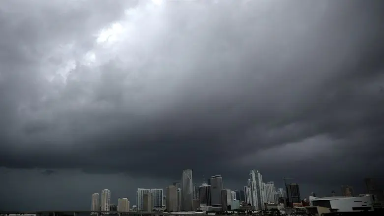
The wind speeds of the hurricane, now off the coast of Sarasota just south of the Tampa Bay Area, are only two miles per hour below the threshold for a Category Five storm – the highest on the National Hurricane Center’s scale.
While the storm is not expected to make landfall in Florida until Wednesday evening, Naples and Sarasota are already facing intense winds and heavy rain.
While still a Category Three storm, Hurricane Ian knocked out power for Cuba’s entire population of 11 million people Tuesday.
The storm could push as much as 12 feet of sea water ashore in the Tampa Bay Area, flooding low-lying areas.
Tampa, located on western Florida’s Gulf Coast, has largely been spared from the hurricanes which have periodically ravaged the state. The last hurricane to directly hit Tampa was recorded in 1921, when the city’s population was just 50,000.
State officials have issued mandatory evacuation orders for some 2.5 million Floridians in the greater Tampa Bay Area, though it remains unclear where the storm will make landfall.
Should the storm make landfall to the south of Tampa, it could significantly soften the blow and reduce damage to the heavily population Tampa area, Miami hurricane researcher Brian McNoldy said.
By contrast, if the hurricane makes landfall by Tampa itself, the damage could be catastrophic.
“It is a big storm, it is going to kick up a lot of water as it comes in,” Governor Ron DeSantis said while visiting Sarasota ahead of the storm’s arrival. “This the kind of storm surge that is life threatening.”