
The Kinneret (Sea of Galilee) rose one centimetre (0.39") since Thursday, and by Friday morning stood at 1.875 meters (6 feet 1.82 inches) below the upper red line signaling maximum capacity.
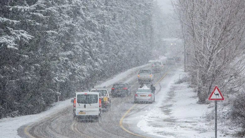
Earlier on Friday, five centimetres (1.96") of snow fell on the lower slopes of Mount Hermon.
Friday will see intermittent rainfall, along with isolated thunderstorms in northern and central Israel. In the northern Negev, there will be local rainfall and harsh winds.
Along the coastline, there is a slight chance of flooding. There is also a chance of flooding in the Judean Desert and Dead Sea areas. A significant drop in temperatures will bring them to lower than seasonal average.
Friday night will see intermittent rainfall from northern Israel to the northern Negev, and there may still be isolated thunderstorms. Along the coast, in the Judean Desert streams, and in the Dead Sea area, there is a slight chance of flooding.
On Saturday, it is expected that snow will continue to fall on Mount Hermon. During the morning hours, there is a chance of flooding along the central coastline. Northern Israel can expect long breaks in the rainfall, with the rain concentrating mostly in the center of the country and in the northern Negev. Temperatures will be lower than seasonal average.
On Sunday, there may be light snowfall in the Golan Heights, but the rain will gradually cease, first in the north of Israel and then in the center of the country. In the northern Negev and in the Arava region, the rain is expected to continue at least until Sunday evening.
Monday is expected to be clear, with a drop in temperatures.